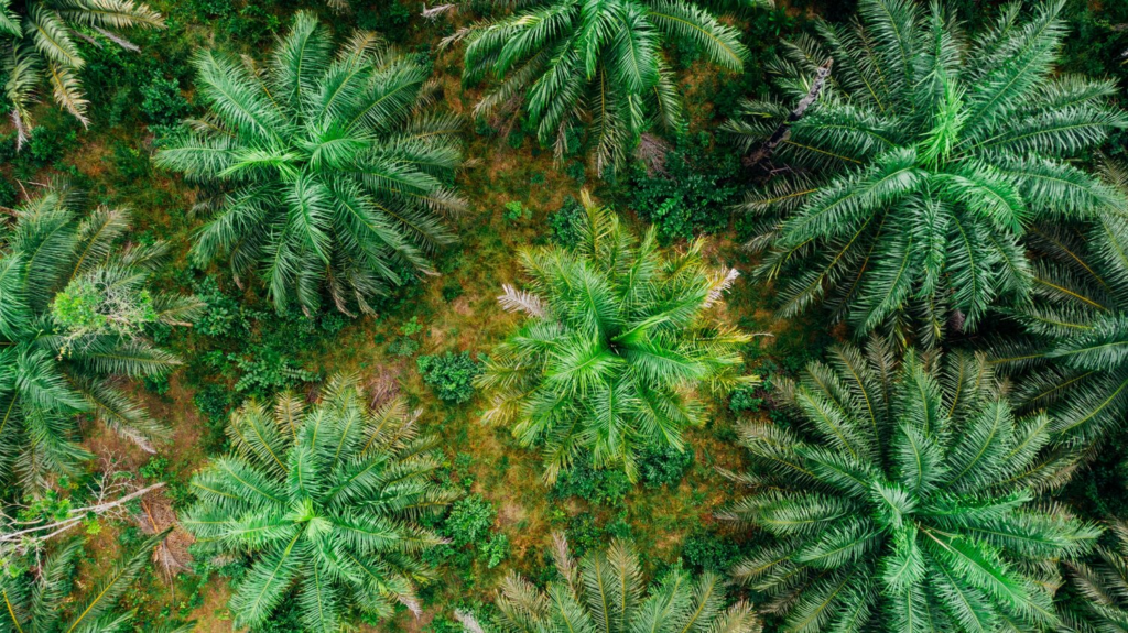
One such technological advance that is already helping to prevent deforestation and protect wildlife is satellite monitoring. Satellite monitoring can help farmers understand the needs of their crops. These technologies allow them to analyse the quality of the measures being used and determine which measures are working more efficiently. For organizations, satellite monitoring takes on a different role. It can control deforestation and aim for sustainable production.
AAK, Ferrero and Nestlé are among companies to use technology to manage their supply chain from a sustainable perspective. AAK has partnered with Earthqualizer and Satelligence to combat deforestation through satellite monitoring of its palm oil supply chain. Earthqualizer uses a risk management tool to verify and monitor compliance with the No Deforestation, No Peat and No Exploitation (NDPE) policy at palm oil refineries, mills, and plantations. Satelligence, in turn, aims to help companies achieve deforestation-free sourcing and production of commodities such as palm oil, cocoa, coffee and soy. Nestlé works with Starling, a global verification system that proves no deforestation has occurred throughout the supply chain.
The partnership with Earthqualizer and Satelligence enables AAK to monitor its global palm oil supply base with great accuracy and in real time. This makes it possible to detect signs of deforestation earlier and take immediate action. The tool is particularly effective because of its scope, which includes verification of parent company ownership. The solution is based on artificial intelligence, satellite technology and supply chain data, and provides daily insights into global agricultural production trends and supply chain risks. It also maps and monitors forests, planted palm areas, deforestation, and the impact of fires. AAK says they are already seeing the benefits from implementing the solution.
For Nestle, Starling uses cutting-edge technology that combines high-resolution radar and optical satellite imagery to provide unbiased, year-round monitoring of land cover change and forest cover disturbance. The collected data and associated analytics enable the company to manage risk and implement on-the-ground intervention strategies to drive change. Starling uses Airbus’ high-resolution satellites SPOT 6 and SPOT 7, as well as third-party sensors designed to cover large geographic areas. With high accuracy and detailed resolution, Starling’s reference maps distinguish between production forests, which include palm plantations, protected forests, and other areas.
Ferrero is another company using Starling, which was introduced in a pilot project in 2016. Marco Gonçalves, Chief Procurement & Hazelnut Company Officer at Ferrero, believes that the use of Starling across all of Ferrero’s palm oil suppliers will support the company’s commitment to zero deforestation. “Ferrero is fully committed to a zero deforestation and zero palm oil exploitation supply chain and we are constantly looking for innovative solutions that can support our commitment. Starling provides state-of-the-art technology that allows us to reliably monitor potential land use changes throughout our supply chain so we can take action,” said Gonçalves. Ferrero is building on the lessons learned from the pilot to optimize its collaboration with its suppliers. The aim is to monitor compliance and evaluate transformative actions while respecting the rights of smallholder farmers to improve their livelihoods.